
All drives
Top of the Rockies Drive: Aspen to Vail Country
From Aspen over Independence Pass to Twin Lakes and Leadville, then on toward Minturn and Vail. The pass closes every winter.
- Distance
- 115 miles, plus 40 miles over Independence Pass
- Driving time
- 4 to 5 hours of driving
CDOT says Independence Pass typically closes for winter between late October and mid-November. Before you go, check current road conditions at COtrip.
Along the way
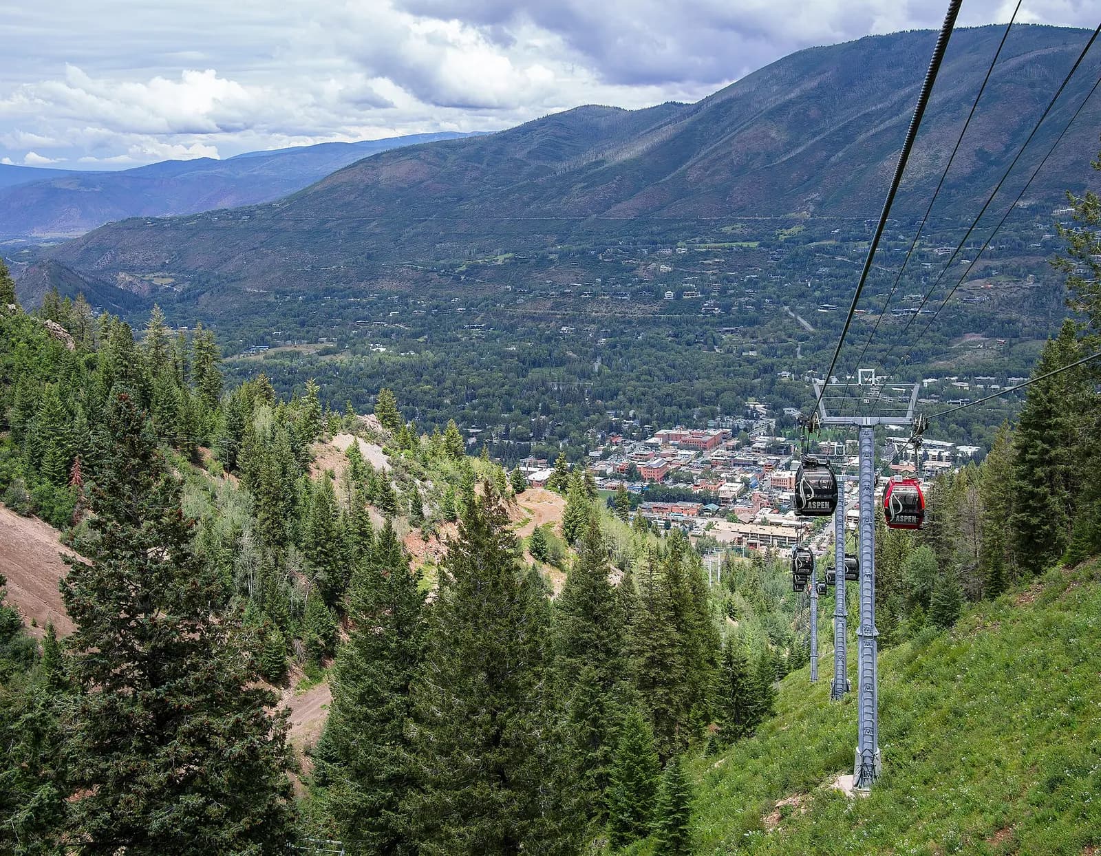
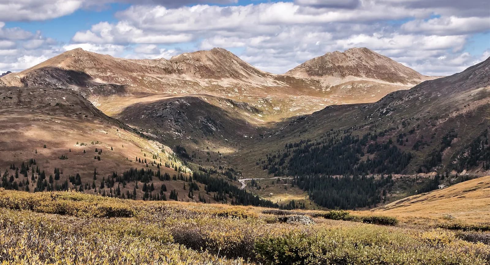
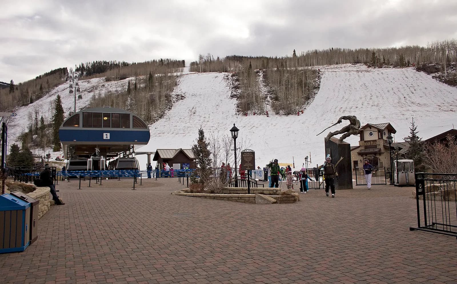
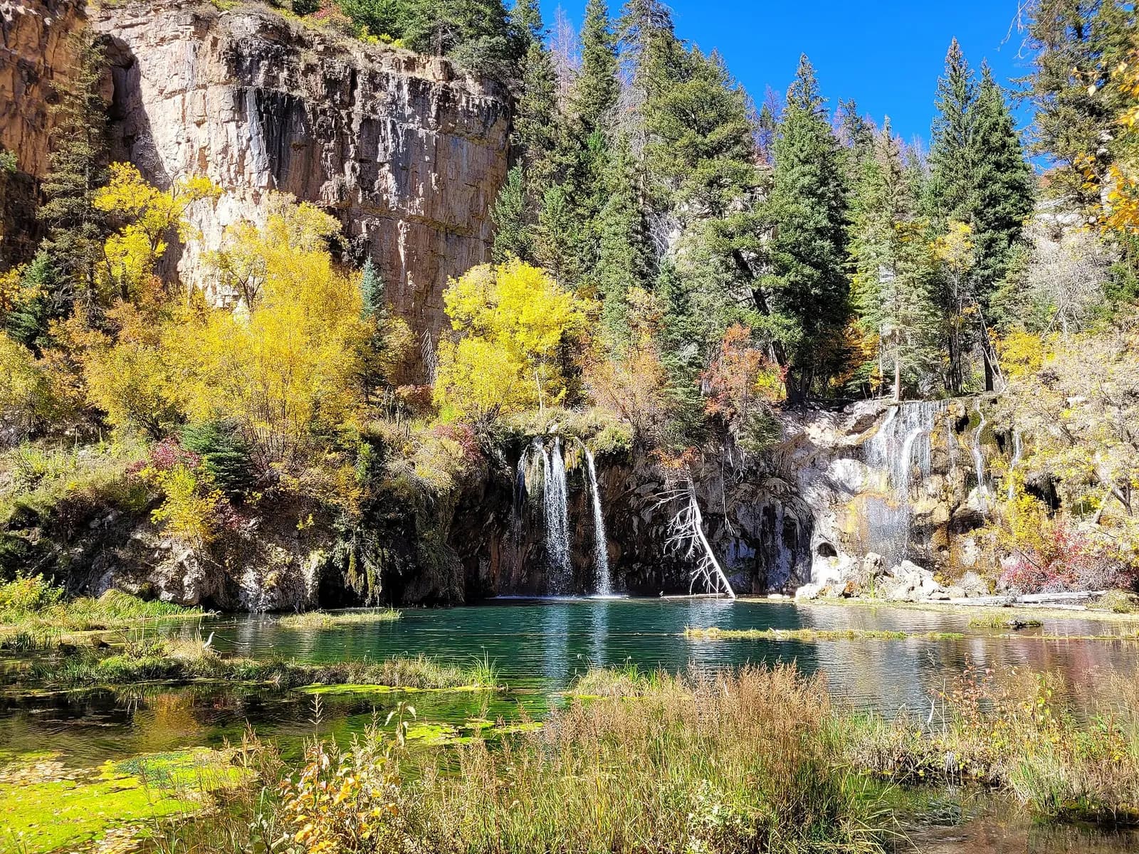
Photo credits
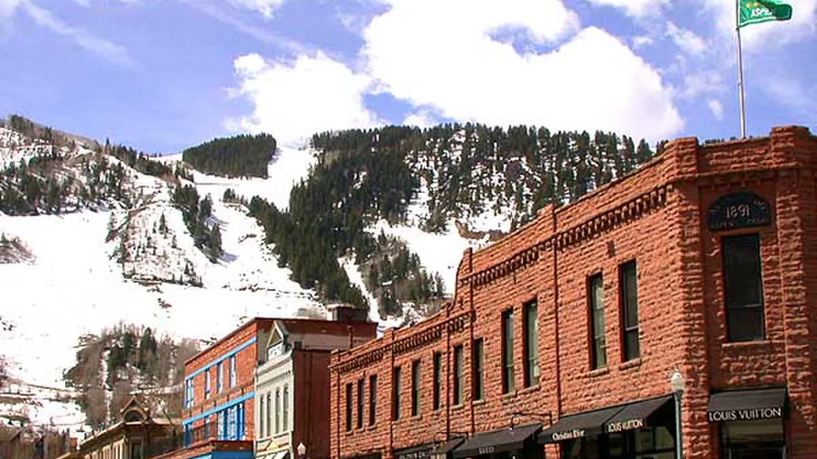
- Aspen: Rhododendrites, CC BY-SA 4.0, resized
- Independence Pass: mark byzewski, CC BY 2.0, resized
- Vail: Bidgee, CC BY-SA 3.0 au, resized
- Glenwood Springs, when the pass is closed: Yuvamsh Kriti, CC BY-SA 4.0, resized
Closures and road notices
- CDOT says Independence Pass typically closes for winter between late October and mid-November, and typically reopens the week before Memorial Day weekend, weather permitting. When it is closed, CDOT's alternate from the Denver area to Aspen is I-70 to Glenwood Springs, then CO 82. Source, checked November 3, 2026
- CDOT closed the pass for a storm on October 31, 2026, and said it would decide afterward whether to reopen it or start the winter shutdown. Source, checked November 3, 2026
Route facts and sources
- CDOT lists the Top of the Rockies byway at 115 miles and 4 to 5 hours, with a 40-mile extension from Twin Lakes over Independence Pass to Aspen. Source, checked November 3, 2026
- CDOT places Independence Pass at 12,095 feet on CO 82, with the summit 19 miles east of Aspen and 18 miles west of Twin Lakes. Some stretches fit only one vehicle. Source, checked November 3, 2026
- CDOT says Leadville sits at 10,200 feet, and names Redcliff, Minturn and Twin Lakes along the byway. Source, checked November 3, 2026